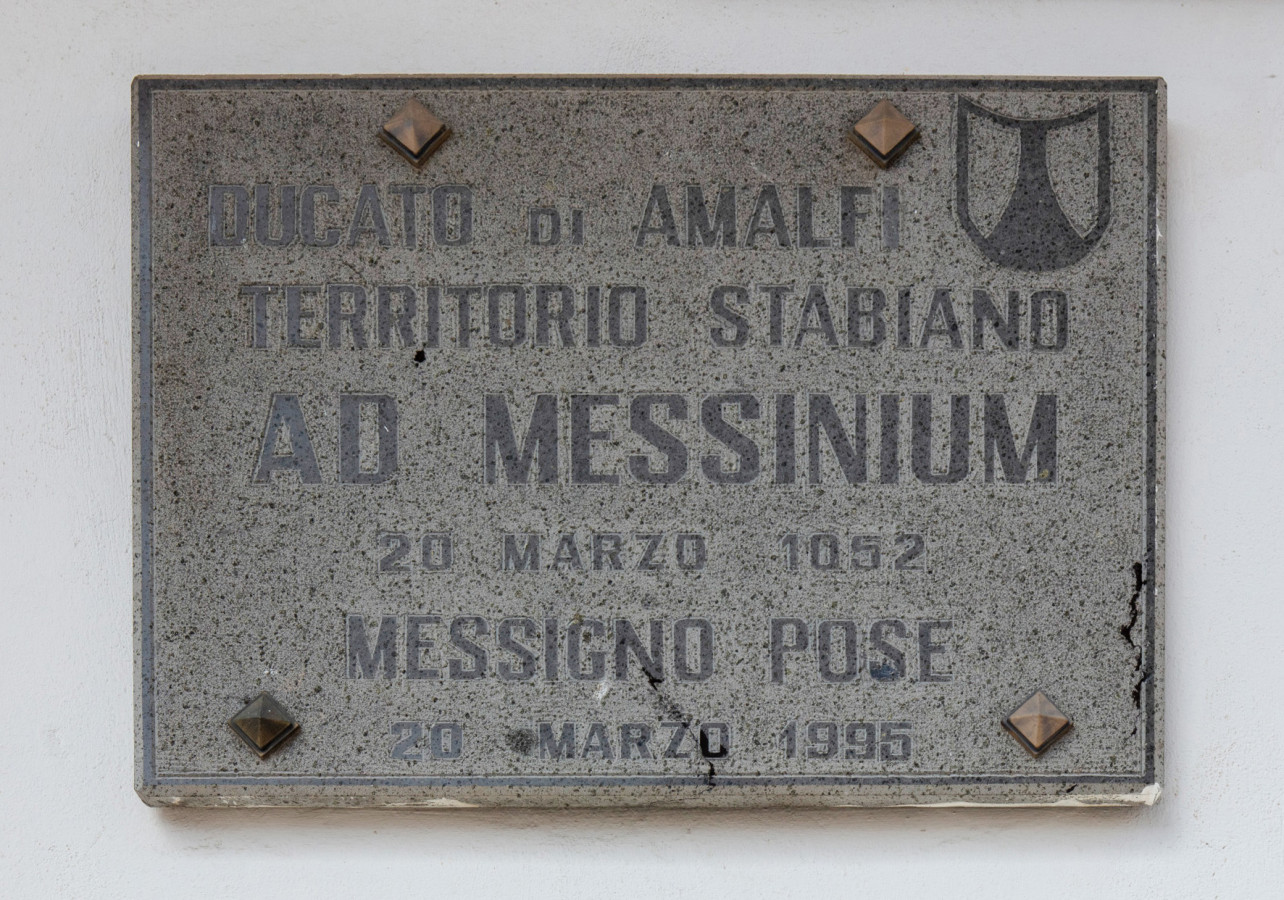
The water in Messigno has the miraculous property of making wood placed in it as hard as marble. The discovery in 1832 of the rock-like wooden tops of three cypress trees planted vertically in the ground led the engineer Giuseppe Negri to believe he was facing the remains of ancient Roman boats. Since cypress trees are not endemic to the area, and cypress wood was once used for ships’ masts, Negri came to the conclusion that these tips were the masts of ships that had been sailing in the area, which formed part of the sea at the time, and that they were buried by the eruption of Vesuvius in AD 79. At the time of the eruption at Pompeii, the area of Messigno was near one of the seven tributaries of the Sarno, which was famed for its miraculous waters. We know that by the eighteenth century the area had become a lagoon, which the Bourbons decided to reclaim, and indeed the famous Bishop Saint Paulinus landed in the lagoon by sailing along the Sarno. Negri even convinced himself that this was the very ship on which Pliny had travelled to rescue his friend Pomponianus during the eruption, and he decided to continue with the excavation. He therefore wrote to the Minister of War and the Navy, pointing out that Archaeology and History stood to benefit greatly from this new discovery. It would arouse the wonder, amazement, and envy of all nations, since it would prove the incorruptibility of wood fossilised by these mineral waters over the course of eighteen centuries. For some decades no more was heard of this story, but in 1858, during excavation work to channel the river Sarno, a cypress grove of about a hundred trees was found in Messigno. The news once again attracted the interest of scientists and archaeologists. The regular rows of trunks showed that the cypress grove had not grown spontaneously. It was probably planted for its wood, which was much sought after for fixtures and furniture, and it led to the discovery of an ancient country villa just next to it. When the reclamation of the area was complete, it was buried again and its location was recorded only in the archives and in bibliographic sources, until it resurfaced again in some archaeological essays in 1989. Negri’s hypotheses were discarded, but he is acknowledged as having been the first to attract the attention of the academic world to a site that, over the course of the years, has turned out to be one of the richest in terms of archaeological finds.


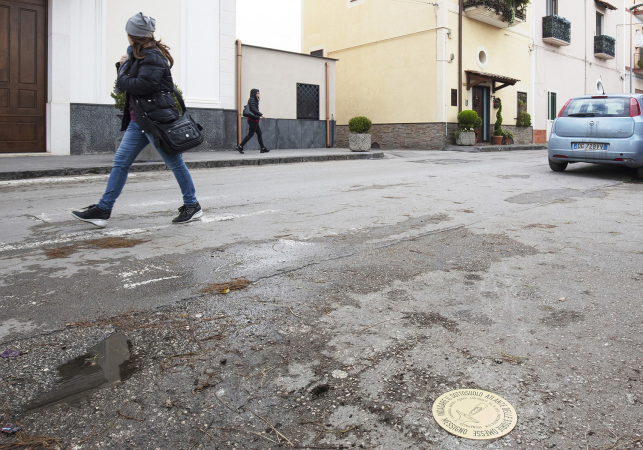
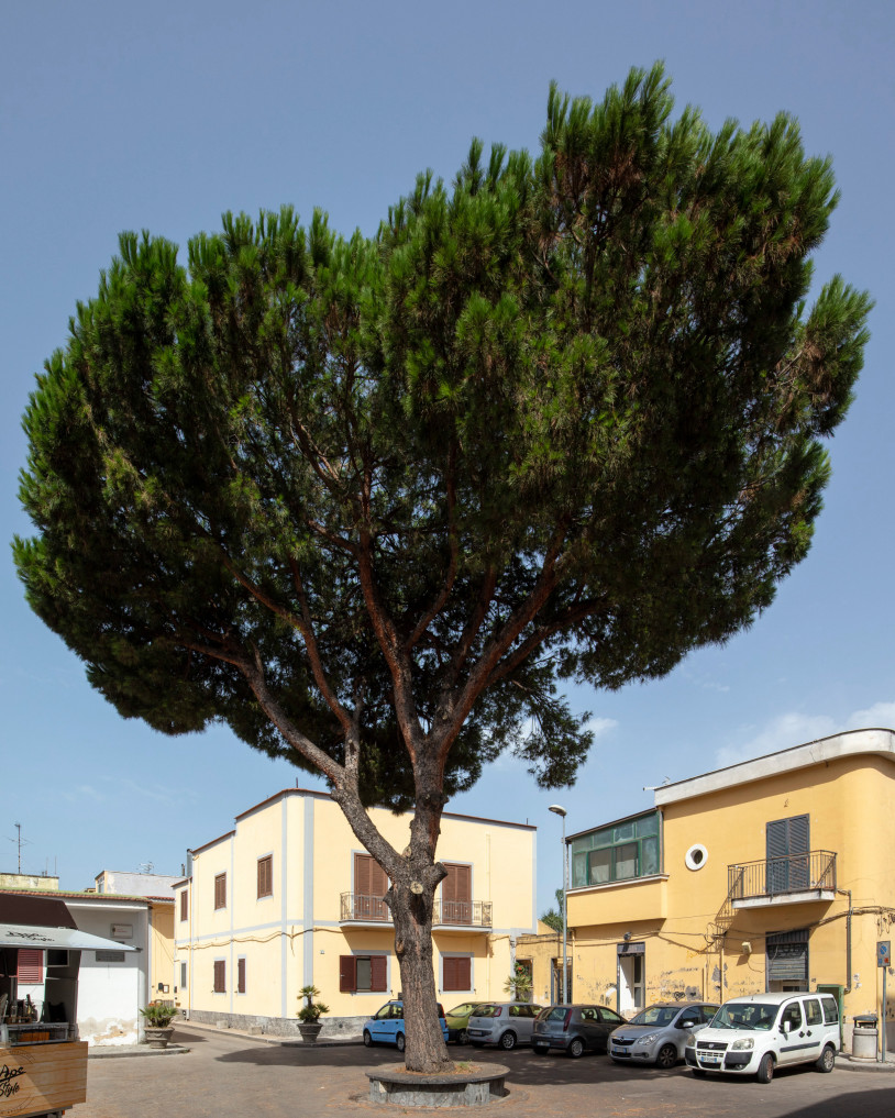
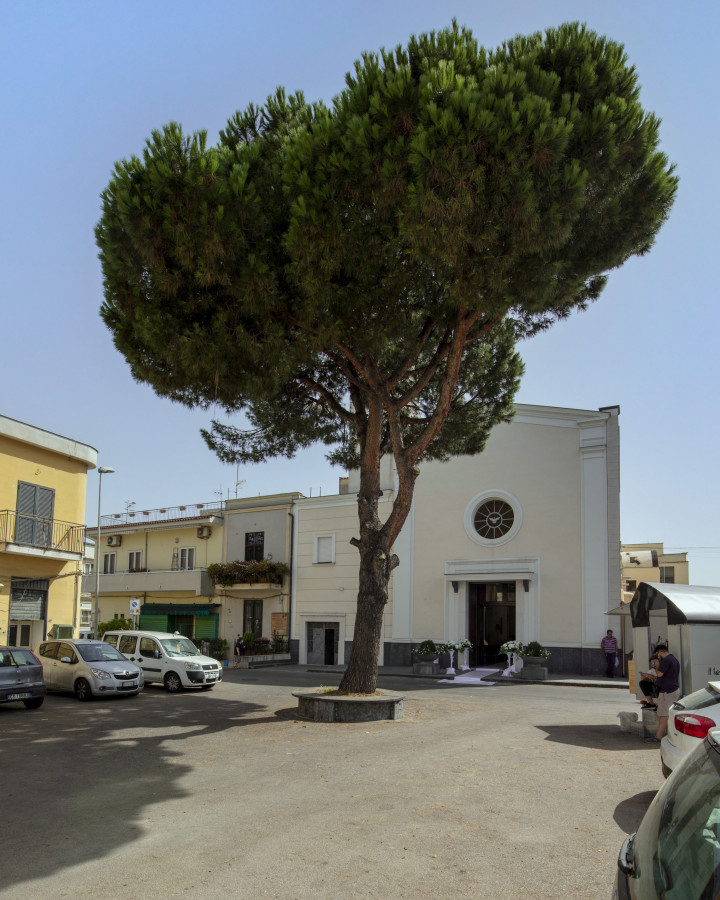
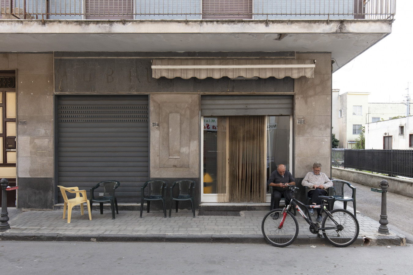
The village of Messigno is in the municipal territory of Pompeii, and geographically on the alluvial-coastal plain of the river Sarno, between the south-eastern slope of the Somma/Vesuvius volcano complex and the foothills of the Sarno Mountains to the north-east. and those of the Lattari Mountains to the south-east.
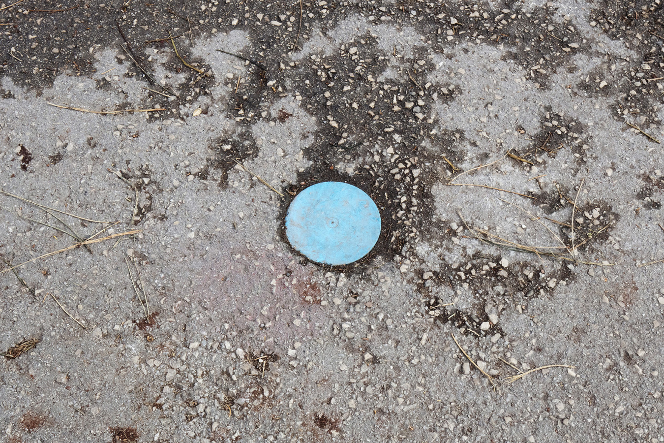
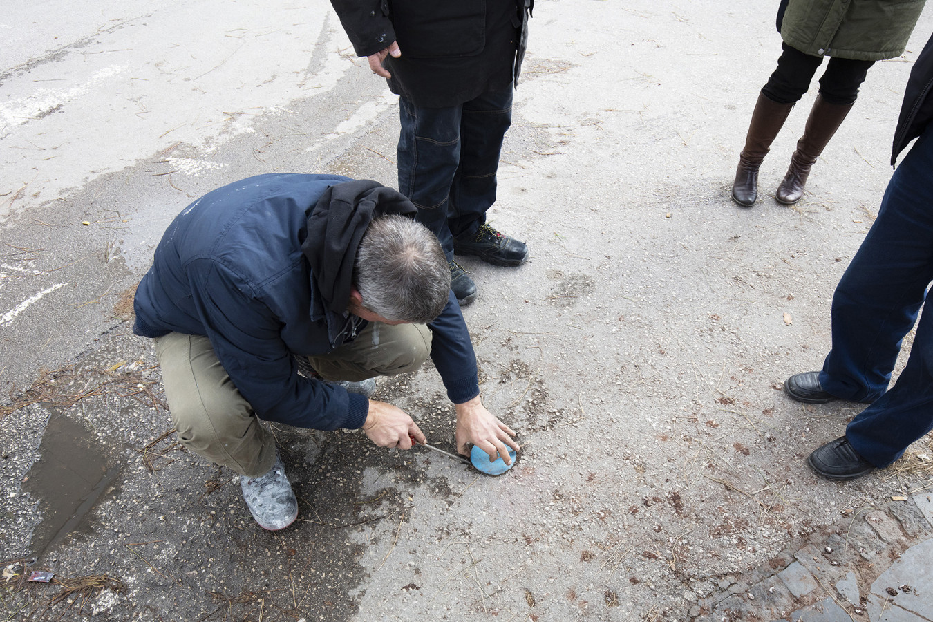
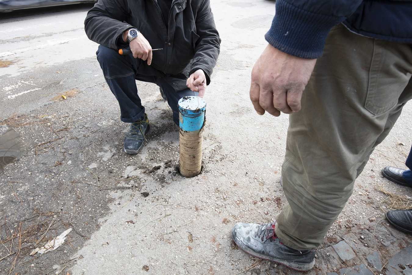
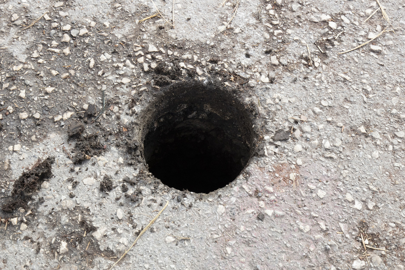
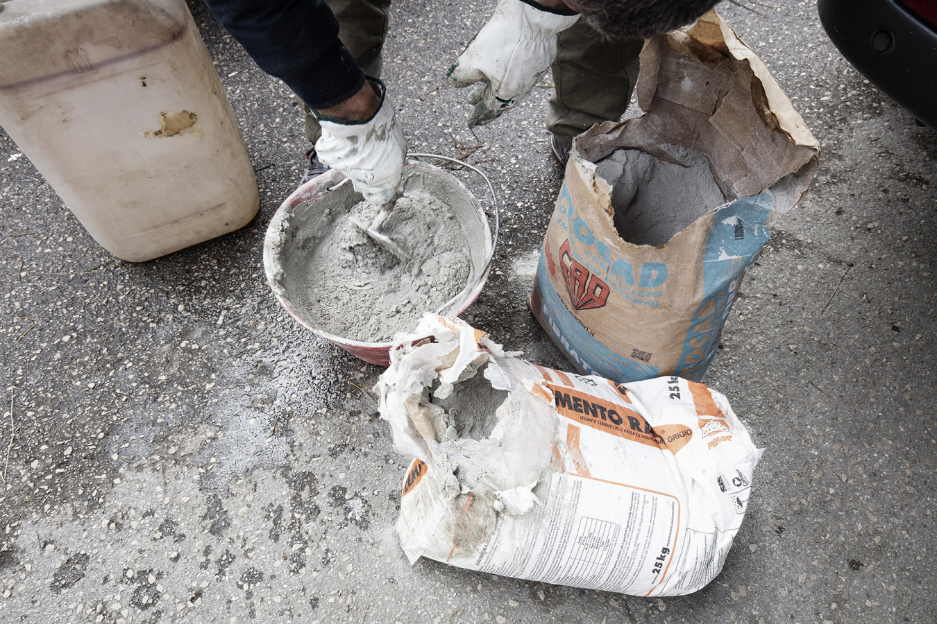
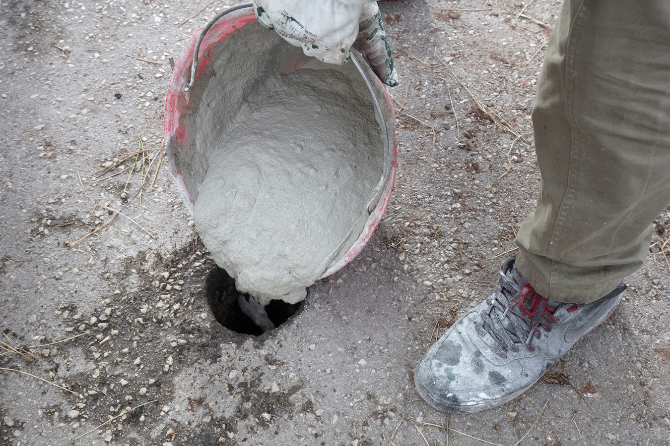
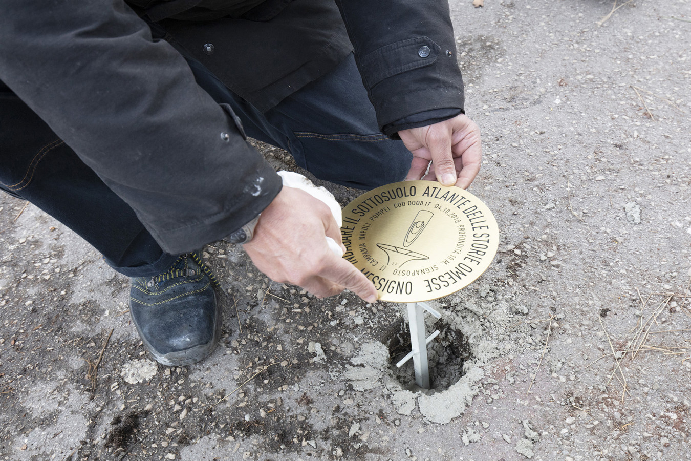
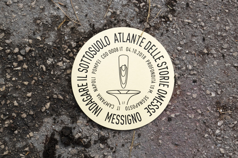
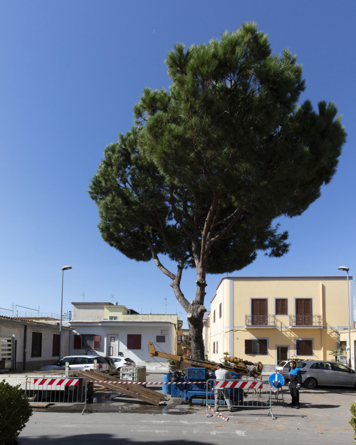
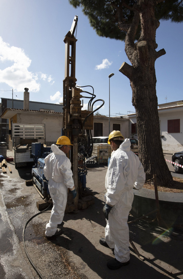
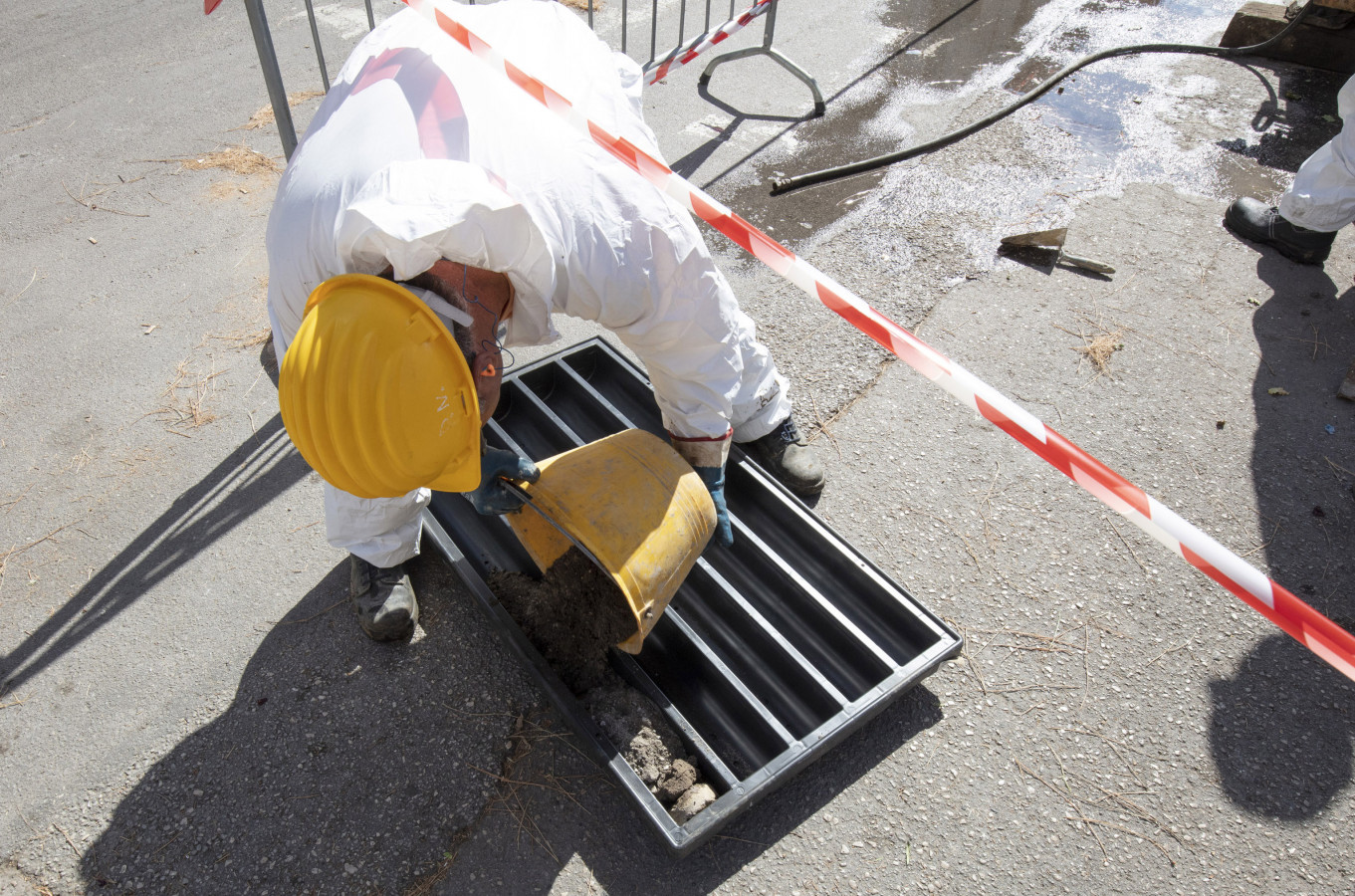
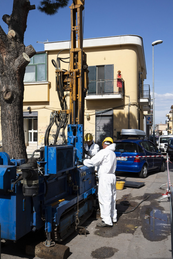
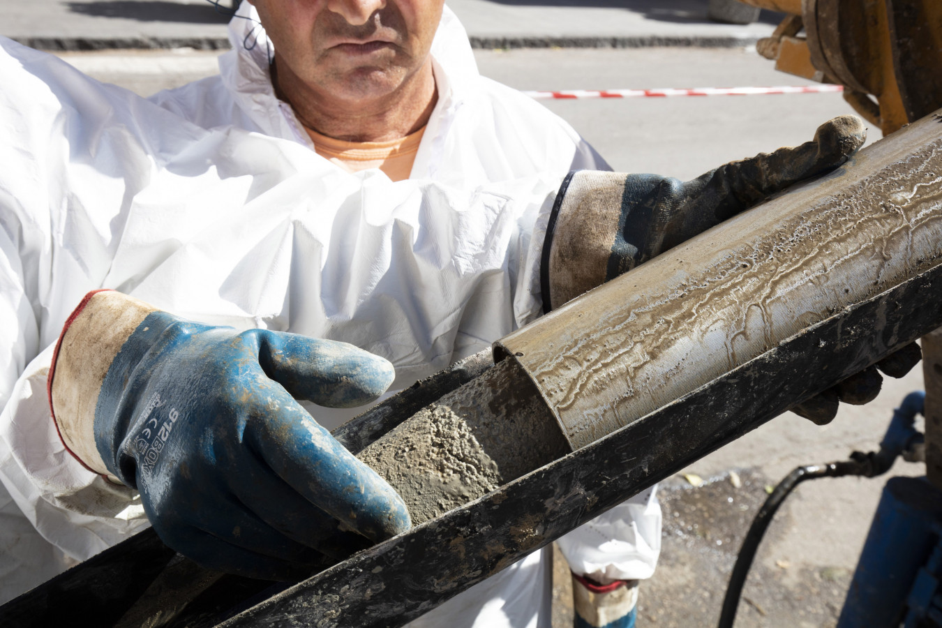
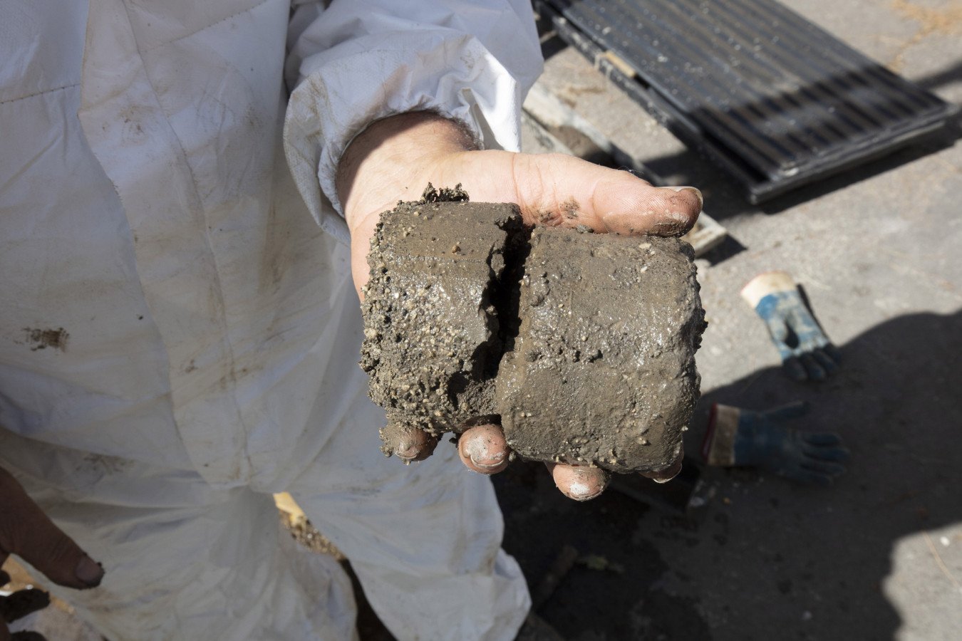
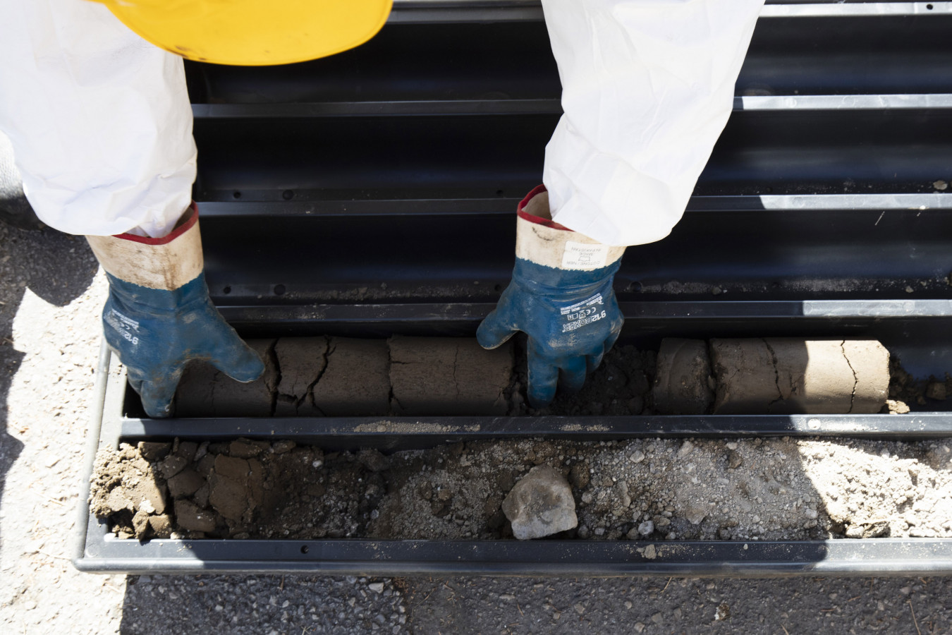
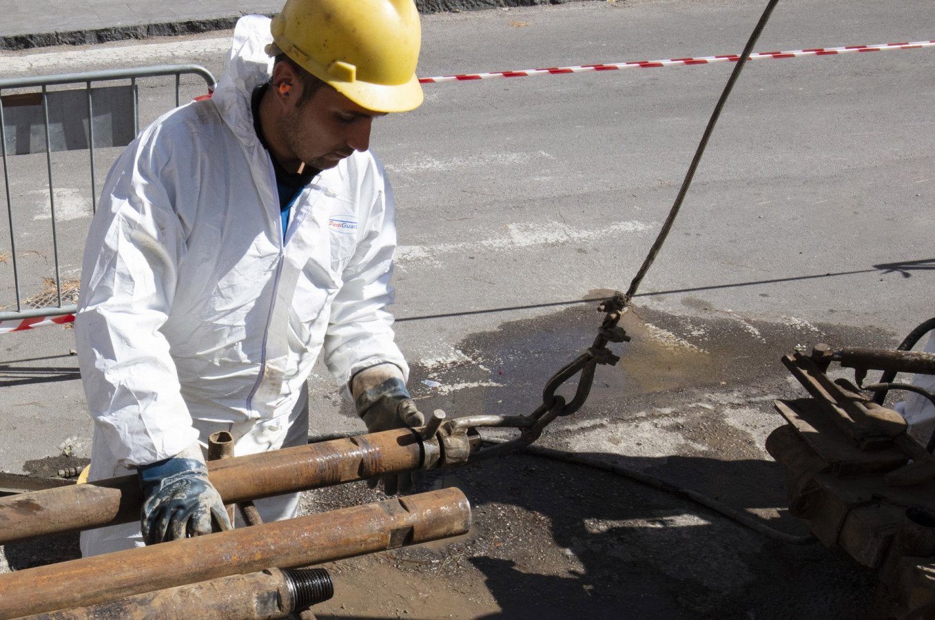
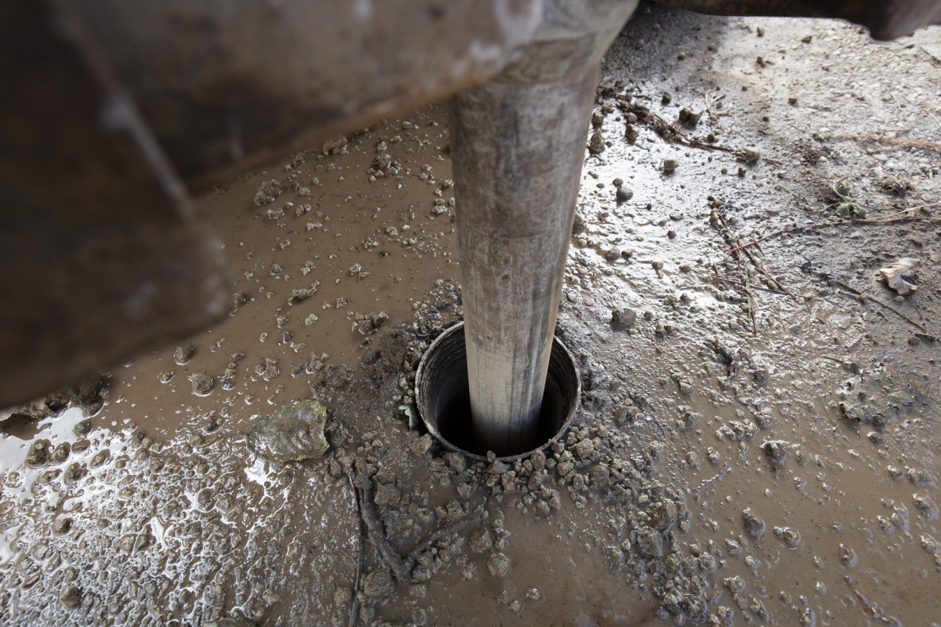
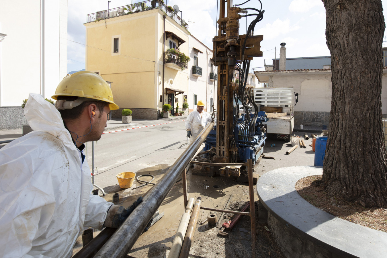
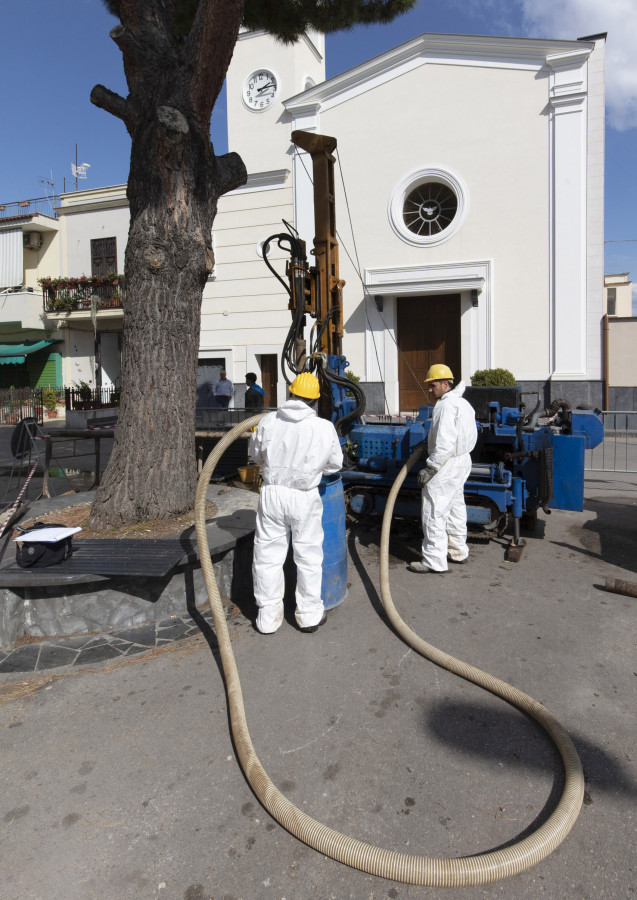
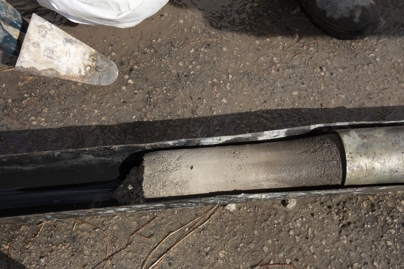
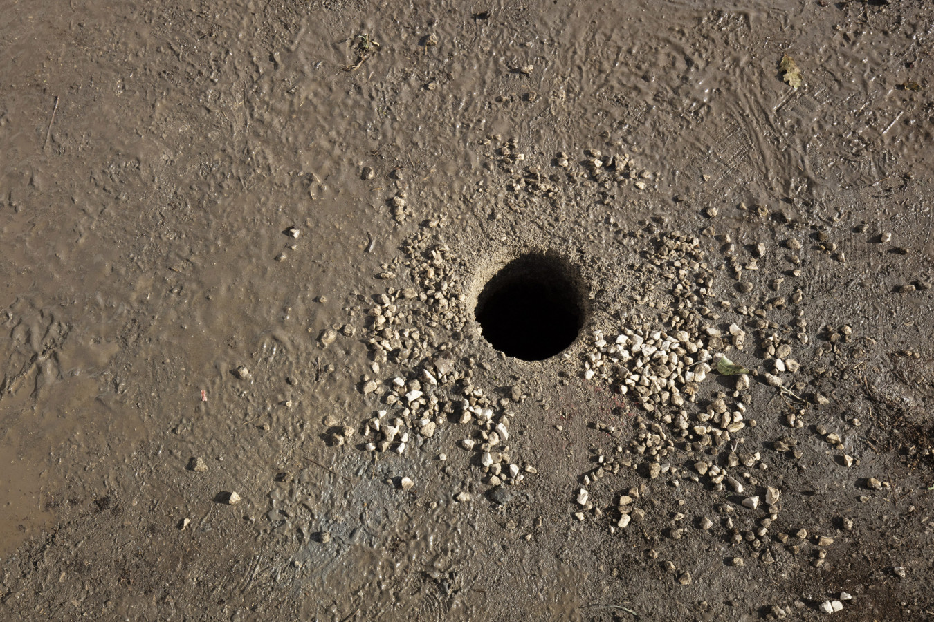
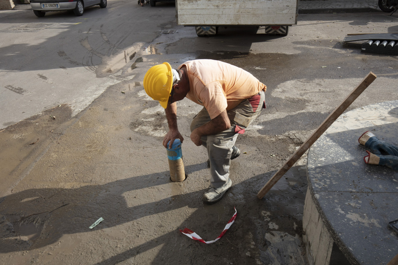
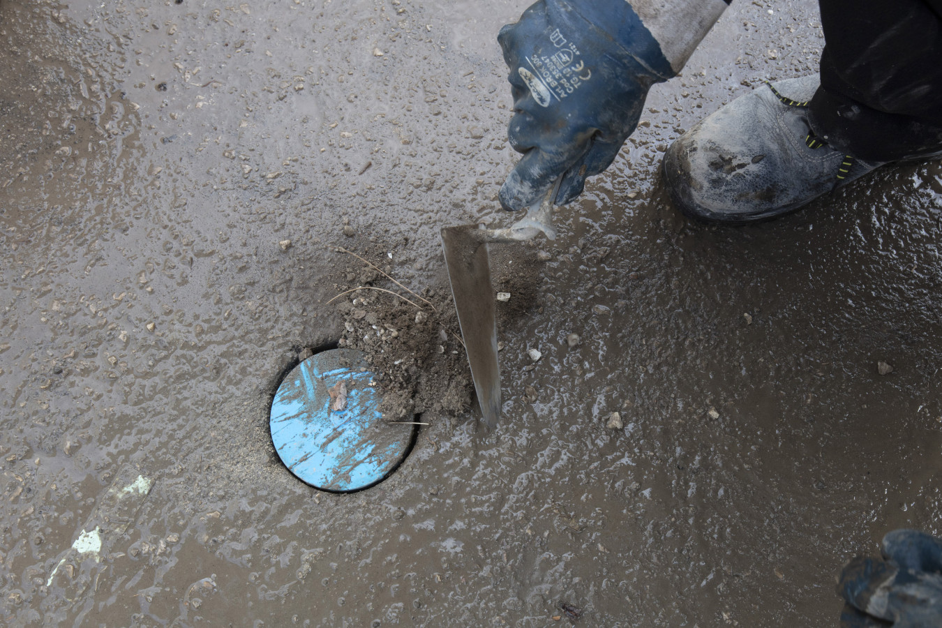
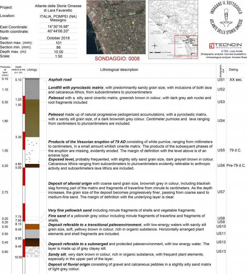
The 0008 core sampling was conducted near the coastal sand dune bank of Messigno, the innermost and most ancient in the Sarno alluvial plain, reaching a depth of 10 m below ground level.
It would seem that the general evolutionary trend of the area during the late Quaternary can be subdivided into at least three main periods, starting from just after the initial stratification of pyroclastic materials ejected by the Campanian Ignimbrite (CI) super-eruption about 39,000 years ago. Making a clear break with the tufaceous materials of the CI, there is a thick continental succession of fluvial and marshy environments, which formed during the low eustatic sea level rise of the Last Glacial Maximum, up to about 14-15,000 years ago, when the coastline was about ten miles further out.
During the post-glacial period and up to about 6,000 years ago, the rising sea level and the contemporaneous subsidence of the plain prevailed over the addition of sediments, causing the coastline to move out in the central plain area, forming the marine cliffs in the areas bordering on the plain (paleocliff of Pompeii, paleocliff of Varano di Stabia).
Over the past 6,000 years, the rate of sea level rise and that of the subsidence of the plain dropped and the contribution of alluvial and pyroclastic sediments became prevalent. This led to a reversal in the trend of the coastline, which began moving out, forming sandy shores increasingly further out, subparallel to the current coastline, behind which lagoons and marshy areas formed.
At least four distinct episodes have interrupted the general advance over the past 6,000 years, giving rise to as many coastal bars: the Messigno one (between 5.6 and 4,500 years ago) is the oldest and the furthest inland. Further out, there is that of Bottaro/Pioppaino, (between 3,600 and 2,500 years ago), that of the Roman period and, finally, one that dates back to about the year 1000.
The stratigraphic sequence that emerged has shown 5 main stratigraphic units, with lithologically and texturally different sediments that are separated by evident surfaces of discontinuity or erosion.
In detail, below the road surface (consisting of asphalt and road bed), which is about 1.2 m deep, there is a series of volcanoclastic layers that were augmented by the continuous addition of pyroclastic materials from the various eruptions of Vesuvius. They rest directly on the pumiceous and cineritic materials from the eruption in AD 79. They are about 1.5 m thick, covering a sequence, about 3 m thick, with inhabited areas at the highest level and, at the lowest level, with alluvial and marshy deposits with a considerable amount of travertine. An erosion surface marks the transition to the underlying layer, which is about 1.65 m thick and mainly made of sandy and silty deposits rich in carbon elements, organic substances, and fragments of bivalve shells, caused by coastal sedimentation.
The sequence investigated here shows the typical characteristics of coastal sedimentation with the deposits of beaches, dunes, lagoons, and marshes, as is well known in the literature on the Messigno area. It can therefore be dated to between the maximum advancement of the sea (about 6,000 years ago) and the formation of the next sand dune bank of Bottaro-Pioppaino (about 3,800 years ago). At 9.4 m below ground level, this sequence rests on gravelly carbonate deposits of an alluvial environment, showing that the sea was decidedly lower and a shoreline that was much further out. These conditions occurred during the minimum eustatic levels of the Last Glacial Maximum and of the late glacial period, as is clear from the literature. The river gravel is over a centimetre in size, suggesting that the river Sarno flowed very close to the core boring area.